

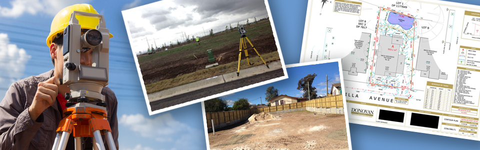
Land Surveying - research, boundary, corners, encroachments
.JPG)
Left: Jonathan Bond, President Middle: Thomas Baggett , Surveying Chief
Right: Dan R. ONeal , Past President and Founder
Land surveying is so much more than just setting corners and drawing a plat.
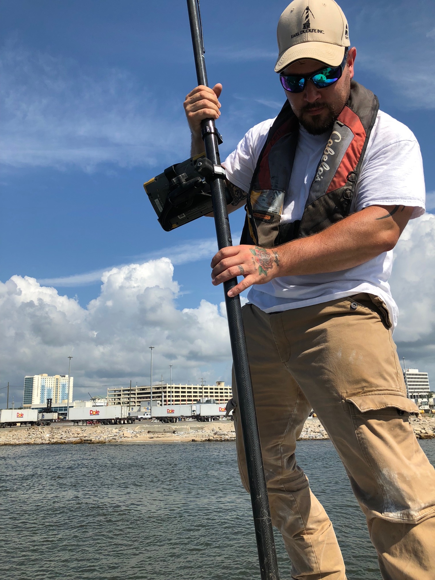
Utilizing state-of-the-art surveying technology, O'Neal-Bond Engineering is capable of providing surveying for a variety of diverse functions, including boundary surveys, lot surveys, land development, construction layout and more.
We use GPS and Total Stations and have a CAD department that produces our clients with professional work products. For land surveys, our clients also receive an aerial photo with the boundary shown.
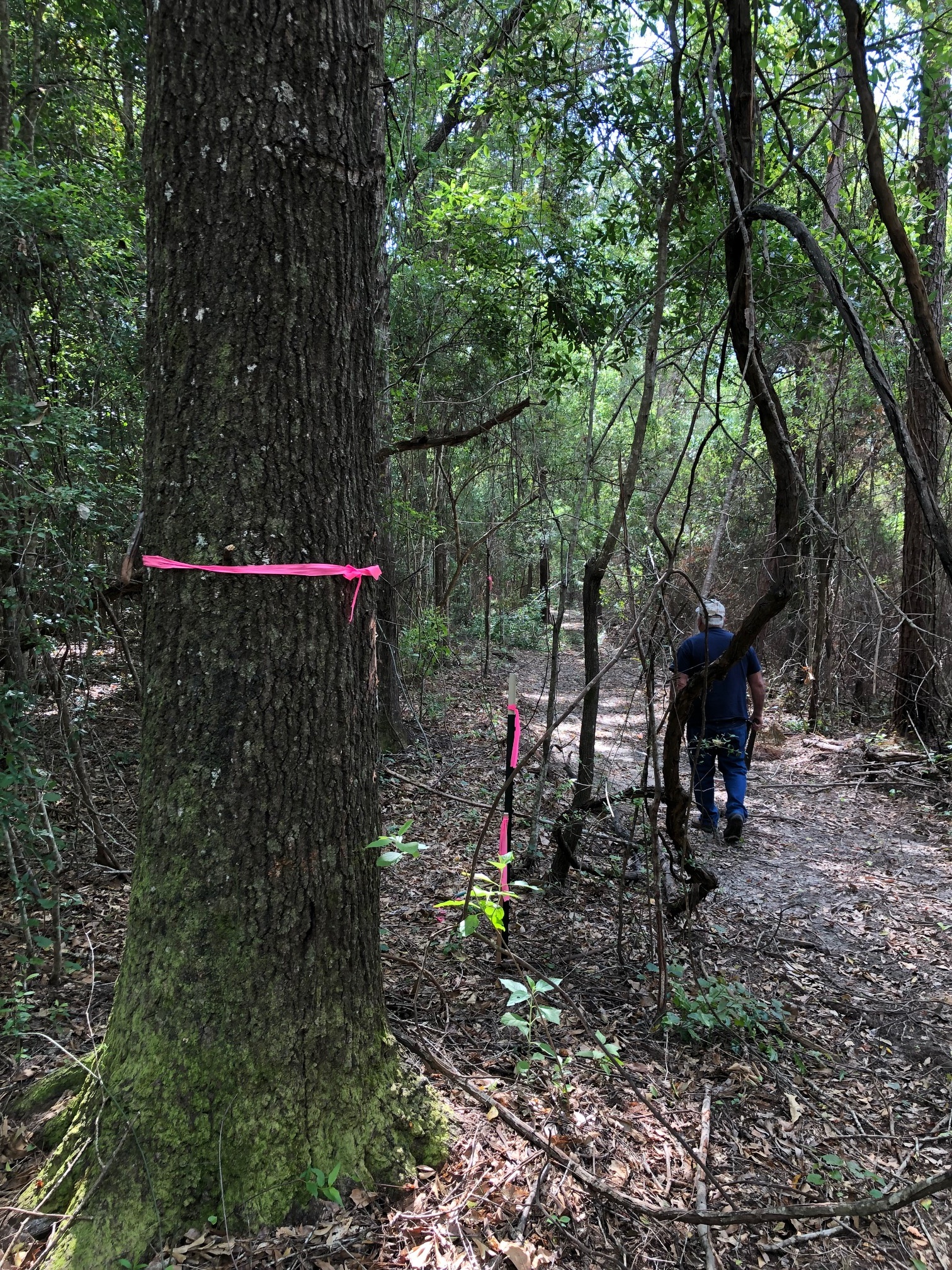
We chop your lines clean and wide with well marked stakes on the line. Some clients op for a more permeant solution with our line blazing and painting line trees. This gives the client a marked line for a lifetime.
Other surveying services include topo, water boundary, and construction layout.